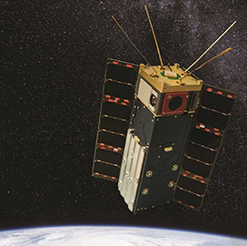
The National Geospatial-Intelligence Agency has expanded its unclassified geospatial intelligence delivery system with images captured by commercial small satellites.
NGA said Thursday that government agencies and international allies can now access small satellite imagery from Planet Federal and BlackSky Global through the Global Enhanced GEOINT Delivery platform to support various missions.
The current archive of G-EGD includes global imagery gathered every minute by satellites and posted to a web portal by DigitalGlobe, a subsidiary of Maxar Technologies (NYSE: MAXR). The Federal Emergency Management Agency, one of NGA's collaborators, uses the system to assess areas for damages following an emergency.
Juan Sainz, chief of commercial mission integration at NGA, said that the onset of the coronavirus pandemic, the Centers for Disease Control and Prevention other health groups started tapping into more geospatial data to inform their COVID-19 response efforts.
"We've seen a significant increase in new users and over 100 percent increase in usage during the COVID-19 pandemic," Sainz added.
He emphasized that offering small satellite imagery helps NGA address the need to provide commercial geospatial data.


